


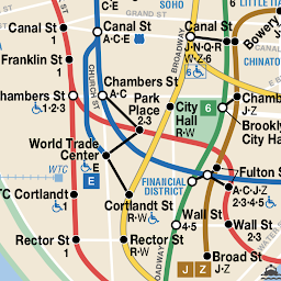


Map of NYC Subway is a comprehensive offline transit navigation tool providing a complete collection of maps for NYC public transport, including subway, bus, rail, ferry, and airport services. The app features a simple, gesture-based interface that allows users to zoom and scroll through detailed transit diagrams without requiring an internet connection.
Overview · Full Intel report in progress
The App DNA
What makes this app unique?
For The app is designed for both NYC visitors and permanent residents who require reliable, offline access to regional transit maps.
What does it look like?
Key features
Provides a full library of transit maps that function without an active internet connection.
Includes extensive mapping for the NYC subway, regional bus networks, LIRR, Metro-North, PATH, NJ Transit, and airport connections like the JFK AirTrain.
Features a simple interface that supports standard touch gestures such as zooming and scrolling for easy map viewing.
How much does it cost?
Velocity
Who built it?
Apptastic Software
9 apps tracked · Maps & Navigation
 Paris Metro Maps
 Berlin Liniennetz S und U Bahn
 Istanbul Metro Maps
 LA Metro Maps
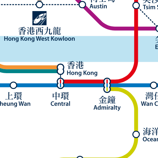 Hong Kong Metro Map
 Tokyo Metro Maps
 Singapore Metro Map MRT & LRT
 SL Stockholm Commute
User Sentiment
What do users think recently?
How are ratings & reviews evolving?
Not enough recent reviews to extract reliable themes yet.
Read the full review analysisCompetition
Competitive landscape for Map of NYC Subway
How's the Maps & Navigation market?
The rivals identified
The Analyst's Read
Key takeaways for Map of NYC Subway
Where is it heading?
Bottom line
This app serves as a lightweight, offline-first reference tool for navigating the complex public transportation networks across New York City and surrounding regions.
Report last updated