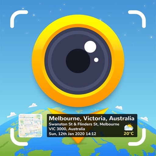


GPS Map Camera is a photo-utility tool for iOS that overlays geographic and environmental metadata onto images for field documentation.
The App DNA
What makes this app unique?
Users report: Users hire this app to generate verifiable proof of site presence for professional reporting, where native camera apps fail to capture required location and sensor data.
For Travelers, real estate professionals, and field workers who require location-verified photo documentation for reporting or personal records.
Key features
Automatically overlays latitude, longitude, altitude, and address data onto captured images.
Allows users to modify map types and add custom logos or notes to photo stamps.
Integrates weather, humidity, wind speed, and magnetic field data into the photo stamp.
How much does it cost?
Subscription-only model for premium features, removing ads and unlocking advanced templates to monetize professional and power users.
Velocity
Steady developmentnew contentUX improvementsinternationalizationShow more...
With 10 distinct versions released over the observed window, the app maintains a steady development pace of roughly 0.3 releases per week. Recent updates have focused on expanding functionality, including internationalization support, video resolution controls, and new navigational templates. The development trend remains stable, with consistent feature-driven updates rather than purely maintenance-focused patches. The latest release occurred 73 days ago, reflecting a consistent, if moderate, commitment to product evolution.
Who built it?
SUSAMP INFOTECH
13+ apps tracked · Photo & Video
 Auto Date & Time Photo Stamper
 Onsite Inspection Survey Cam
 Timestamp Camera: Date Stamper
 GPS Map Camera Lite: Timestamp
 Baby Piano: Fun Music Games
 Shot On Watermark for Photos
 Popular English Short Stories
 Note Camera with Timestamp
 Auto Stamper: Stamps on photos
 GPS Stamp Camera: Geotag Photo
 Add Text & Stamp to Photos
 Timestamper: Activity Tracker
User Sentiment
What do users think recently?
Users report: The recent review mood reads mixed. Users appreciate field surveyors and construction professionals rely on the app to document site progress with location stamps and the core functionality of mapping photos to specific geographic coordinates provides reliable proof of site presence, but report aggressive ad placements and intrusive popups disrupt the workflow for users trying to capture time-sensitive photos.
How are ratings & reviews evolving?
What users say, by theme
- Field surveyors and construction professionals rely on the app to document site progress with location stamps
- The core functionality of mapping photos to specific geographic coordinates provides reliable proof of site presence
- Users report: Aggressive ad placements and intrusive popups disrupt the workflow for users trying to capture time-sensitive photos
86 of 99 recent reviews analyzed · high confidence · Mixed overall
Read the full review analysisUnlock 2 more frustration themes and 1 user request, each backed by review evidence.
Access the full report for freeCompetition
Competitive landscape for GPS Map Camera : Geo Photos
How's the Photo & Video market?
GPS Map Camera maintains a presence in the Photography category across multiple regions, including #168 Grossing in the UAE. The gap between its free-tier discovery and grossing rank signals that current monetization friction limits conversion among professional users.
Read the market outlookThe rivals identified

By HAI HANH RIVIERA JOINT STOCK COMPANY
Both apps target users requiring location-verified photo documentation, with direct overlap in core GPS metadata stamping functionality for visual media.
- GPS Map Camera : Geo Photos includes environmental data overlays for professional surveying, while the rival provides basic geotagging.
- GPS Map Camera : Geo Photos gates advanced templates behind a subscription, whereas the rival offers a free model.

Unlock the head-to-head verdict: where this rival wins, and where it loses.
Access the full report for freeThe Analyst's Read
Key takeaways for GPS Map Camera : Geo Photos
Where is it heading?
The market for location-stamping tools is consolidating around stability and professional-grade reliability. GPS Map Camera's current trajectory is exposed: without addressing the technical instability and ad-friction, the app will continue to lose its professional base to more stable, less intrusive competitors.
- Frequent app freezes during high-volume sessions cause data loss, which directly erodes trust among the professional users who rely on the tool.
- Users report: Aggressive ad placements disrupt time-sensitive photo capture, creating friction that encourages users to seek more stable, less intrusive alternatives in the niche.
The SWOT
- Environmental data overlays function as a B2B distribution barrier into architecture and surveying segments
- Core utility of location-verified photo documentation drives daily usage among field professionals
- Localized, professional-tier reporting templates could capture the power-user segment
- Refining the UI for report clarity would improve value for corporate clients
Next best moves
Rebuild capture-process stability because frequent freezes cause data loss during field sessions → reduce churn of professional users
+ 1 more prioritized moveThe counter-intuitive read
The app's reliance on aggressive ad-monetization is a strategic error…
Read the full takeFeature gaps
Minimalist, rapid-capture workflow (available in Timestamp Cameraㅤㅤ but absent here) +1
Bottom line
GPS Map Camera provides essential utility for field documentation, but technical instability and ad-friction are actively churning the professional base. The PM must prioritize capture-process stability over new template features to prevent further erosion of the core user segment.
Unlock 2 critical frictions, 2 market threats, 1 more prioritized move and the analyst’s take.
Access the full report for freeFAQ
Is GPS Map Camera suitable for professional site surveying?
How does GPS Map Camera compare to Timestamp Camera Basic?
Does the app have intrusive ads?
Are there alternatives for simple location stamping?
Sources
- [1] App Store, source
Report last updated