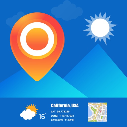


GPS Photo: Geotag Location


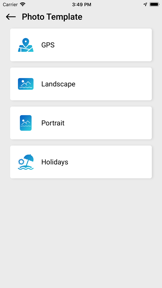


GPS Photo: Geotag Location is a utility that allows users to append metadata such as latitude, longitude, address, and weather conditions to their images. It enables users to visualize their photo history on a map and share images with embedded location stamps. The app is designed for users looking to document the specific geographic context of their captured memories.
Overview · Full Intel report in progress
The App DNA
What makes this app unique?
For Travel enthusiasts and photography hobbyists interested in documenting and mapping the location data of their images.
What does it look like?
Key features
Adds location, date, address, temperature, and weather condition stamps to camera or gallery photos.
Allows users to browse photo history on a map and open specific photo locations directly within the map interface.
Enables sharing of photos while retaining precise latitude, longitude, and address details.
How much does it cost?
Velocity
Maintenance developmentShow more...
5 versions in history. Development pace: maintenance.
Who built it?
AppAspect Technologies Pvt
13+ apps tracked · Photo & Video
 Car Camera DVR PRO
 Dubai Metro Schedule & Routes
 Call Reminder
 Bengaluru Metro - Travel Guide
 Place Finder - Search Places
 BMI Calculator - Ideal Weight
 Dual Accounts - Multi AI Apps
 GPS Speedometer: MPH Tracker
 Athan Times: Qibla, AI- Quran
 BMI Calculator - BMR Manager
 Islamic World - Ramadan 2026
 Car Camera DVR-Dashcam
User Sentiment
What do users think recently?
How are ratings & reviews evolving?
Not enough recent reviews to extract reliable themes yet.
Read the full review analysisCompetition
Competitive landscape for GPS Photo: Geotag Location
How's the Photo & Video market?
The rivals identified
The Analyst's Read
Key takeaways for GPS Photo: Geotag Location
Where is it heading?
Bottom line
While the app provides comprehensive geotagging tools, user feedback indicates potential inaccuracies in location detection for existing photos.
Report last updated