


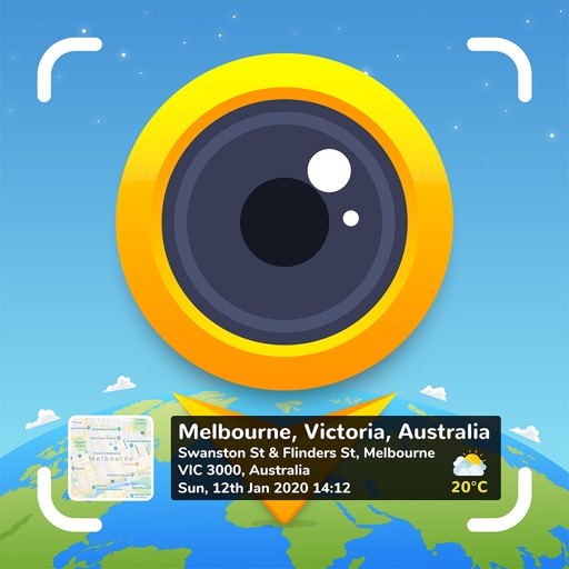
GPS Stamp Camera is a photo utility that overlays geographical and temporal data onto images. It allows users to capture new photos with embedded metadata or apply stamps to existing gallery images, serving as a tool for memory preservation and professional documentation.
Overview · Full Intel report in progress
The App DNA
What makes this app unique?
For Travelers, photographers, and professionals such as insurance adjusters or reporters who require verifiable location and time data for their photos.
What does it look like?
Key features
Automatically overlays map data and GPS coordinates onto captured or existing photos.
Provides various templates to personalize the appearance of the date, time, and location watermark.
Supports both real-time photography via the in-app camera and the processing of existing images from the device gallery.
Allows users to configure specific date and time formats to suit their documentation needs.
How much does it cost?
Velocity
Steady developmentShow more...
5 versions in history. Development pace: steady.
Who built it?
SUSAMP INFOTECH
13+ apps tracked · Photo & Video
 Auto Date & Time Photo Stamper
 Onsite Inspection Survey Cam
 GPS Map Camera : Geo Photos
 Timestamp Camera: Date Stamper
 GPS Map Camera Lite: Timestamp
 Baby Piano: Fun Music Games
 Shot On Watermark for Photos
 Popular English Short Stories
 Note Camera with Timestamp
 Auto Stamper: Stamps on photos
 Add Text & Stamp to Photos
 Timestamper: Activity Tracker
User Sentiment
What do users think recently?
How are ratings & reviews evolving?
Not enough recent reviews to extract reliable themes yet.
Read the full review analysisCompetition
Competitive landscape for GPS Stamp Camera: Geotag Photo
How's the Photo & Video market?
The rivals identified
The Analyst's Read
Key takeaways for GPS Stamp Camera: Geotag Photo
Where is it heading?
Bottom line
This app functions as a utility for adding verifiable location and time stamps to photos for both personal record-keeping and professional validation.
Report last updated