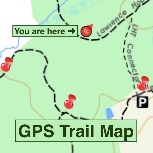



GPS Trail Map is a travel utility for iOS that converts static images and PDFs into interactive, GPS-tracked maps for hikers.
The App DNA
What makes this app unique?
The app removes the friction of navigating trails that lack official digital map support by enabling users to create their own location-aware overlays.
For Hikers and outdoor enthusiasts who require GPS tracking on custom or non-standard trail maps.
What does it look like?
Key features
Converts static images or PDFs into interactive GPS-tracked maps using geo-location pins.
Calculates user location on custom maps using a weighted algorithm based on proximity to placed pins.
Saves and shares user-constructed GPS maps to a public database for community access.
How much does it cost?
The token-based consumption gate requires users to pay for 12-hour location tracking windows, directly monetizing the app's core utility.
Velocity
Dormant developmentopaqueShow more...
GPS Trail Map has seen no development activity for 1,077 days. With only a single minor update recorded in the analyzed window, the app lacks any meaningful release cadence or signs of ongoing maintenance. There is no evidence of new features, bug fixes, or operational support, indicating the project is effectively inactive.
Who built it?
Peter Kramer
11 apps tracked · Travel
 OptionPosition+
 Gravitational Wave Events
 Watch My Stocks
 iPlayingCards (Lite)
 Lap Swim
 Stock Position
 Quantum Mechanics +
 Beat the Stock Market
 Senior Check-In
 CarPooling - Princeton Ride Share
User Sentiment
What do users think recently?
How are ratings & reviews evolving?
Not enough recent reviews to extract reliable themes yet.
Read the full review analysisCompetition
Competitive landscape for GPS Trail Map
How's the Travel market?
GPS Trail Map occupies a niche in the travel category, relying on a unique map-digitization mechanism rather than standard trail databases. The lack of updates for over 1,000 days suggests a maintenance-mode posture that limits its ability to compete with modern, frequently updated mapping tools.
Read the market outlookThe rivals identified
Unlock the deeper market read.
Access the full report for freeThe Analyst's Read
Key takeaways for GPS Trail Map
Where is it heading?
The travel mapping market is consolidating around high-frequency update cycles and cloud-synced trail databases. GPS Trail Map's lack of development activity leaves it exposed to technical drift, which will likely erode its utility for users who require reliable location tracking.
- The 1,078-day update gap suggests the app is in maintenance mode, which increases the risk of technical failure as iOS evolves.
The SWOT
- Least-squares algorithm enables custom map anchoring
- Community map repository could drive organic discovery
Next best moves
Audit location service compatibility because the app has not been updated in 1,078 days → prevent catastrophic failure
The counter-intuitive read
The app's lack of updates is its primary…
Read the full takeSince the last report: The outlook trend shifted from stable to declining, reflecting increased concern over technical obsolescence after 1,078 days without updates. No functional changes occurred, but the risk assessment now explicitly prioritizes OS-level compatibility over feature growth.
Bottom line
The least-squares positioning mechanism provides a unique utility, but the three-year development gap threatens the app's viability; prioritizing a stability audit would protect the existing user base from potential OS-level regressions.
Unlock 2 critical frictions, 1 market threat and the analyst’s take.
Access the full report for freeFAQ
Is GPS Trail Map suitable for professional hiking?
How does GPS Trail Map monetize its service?
Are there alternatives to GPS Trail Map for trail navigation?
Sources
- [1] App Store, source
Report last updated