


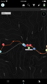
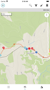

GR10 by HIKEORAMA is a digital hiking guide designed to assist trekkers navigating the long-distance GR10 route across the French Pyrenees. The app provides integrated mapping, meteorological data, and points of interest to support autonomous travel through the mountain range.
Overview · Full Intel report in progress
The App DNA
What makes this app unique?
For Long-distance hikers and outdoor enthusiasts planning to traverse the French Pyrenees.
What does it look like?
Key features
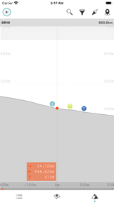
Provides positioning tools to help users track their location along the GR10 trail.
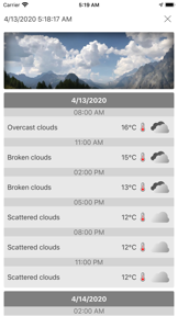
Includes weather information to assist with route planning and safety.
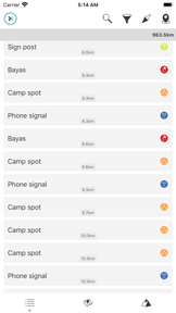
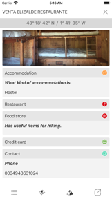
Offers information on amenities and locations found along the route, such as sleeping spots.
How much does it cost?
Velocity
Intense developmentShow more...
5 versions in history. Development pace: intense.
Who built it?
Jorge Rodriguez-Flores Esparza
11 apps tracked · Navigation
 HAUTE ROUTE ALPS
 PORTA DEL CEL
 TOUR DU MONT-BLANC
 GR20
GR20 GR11
GR11 TOUR MONTE ROSA
 THE LIGHTHOUSE WAY
 THE FRENCH WAY
 HRP
HRP Camino del norte
User Sentiment
What do users think recently?
How are ratings & reviews evolving?
Not enough recent reviews to extract reliable themes yet.
Read the full review analysisCompetition
Competitive landscape for GR10
How's the Navigation market?
The rivals identified
The Analyst's Read
Key takeaways for GR10
Where is it heading?
Bottom line
While the app aims to provide a comprehensive digital guide for the GR10, user feedback indicates significant concerns regarding reliability and the accuracy of listed amenities.
Report last updated