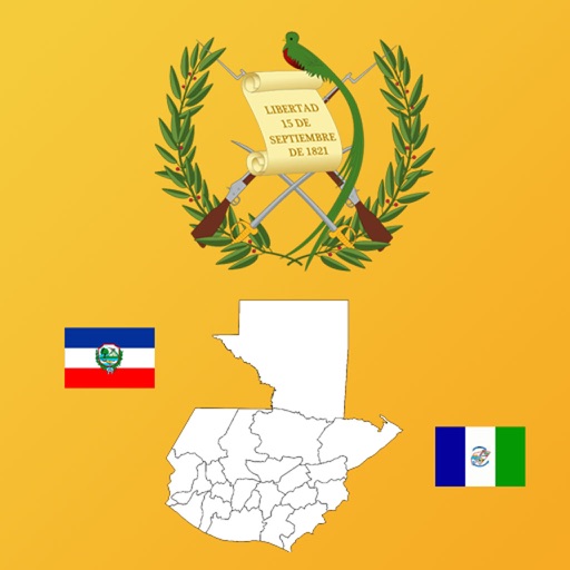





Guatemala Department Maps, Flags and Capitals is an educational reference tool focused on the geography of Guatemala's departments. It provides users with visual data including maps, flags, and coats of arms, alongside a built-in quiz module to test knowledge of these regional details.
Overview · Full Intel report in progress
The App DNA
What makes this app unique?
For Students, educators, and geography enthusiasts interested in the administrative divisions of Guatemala.
What does it look like?
Key features
Provides access to maps, flags, and coats of arms for each of Guatemala's departments.
Allows users to cycle through the full list of departments or select specific states for focused viewing.
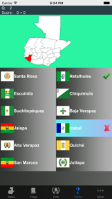
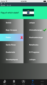
Includes a quiz feature to test user retention of departmental maps, flags, coats of arms, and capitals.
How much does it cost?
Velocity
Who built it?
Ralph DMello
13+ apps tracked · Education
 Presidents and Stats
 Country Flags, Maps, COA Quiz
 Central America state maps
 North America Country's States
 Iran Province Maps and Capitals
 Country Flags, Maps, Capitals
 Iraq State Maps and Capitals
 US State Maps and Flags
 Sea Land Air Battle Retro
 Afghanistan Province Maps and Capitals
 Football Cup Simulator
 Land Air Sea Battle Retro
User Sentiment
What do users think recently?
How are ratings & reviews evolving?
Not enough recent reviews to extract reliable themes yet.
Read the full review analysisCompetition
Competitive landscape for Guatemala Department Maps, Flags and Capitals
How's the Education market?
The rivals identified
The Analyst's Read
Key takeaways for Guatemala Department Maps, Flags and Capitals
Where is it heading?
Bottom line
This is a niche educational utility designed for learning and testing knowledge of Guatemalan departmental geography.
Report last updated