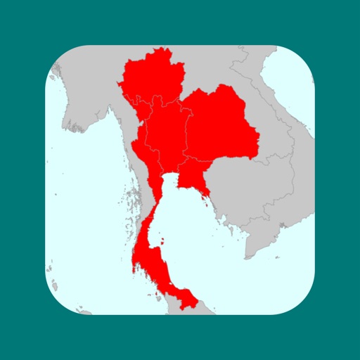


My Thailand Map is a travel utility for iOS that allows users to mark and visualize visited Thai provinces on an interactive map.
The App DNA
What makes this app unique?
The app removes the need for manual map drawing by providing a digital checklist that exports data for external analysis, serving users who prefer offline, static record-keeping.
For Travelers and hobbyists interested in tracking and visualizing their movement across Thai provinces.
What does it look like?
Key features
Interactive map interface to mark and color-code visited provinces in Thailand.
Full map functionality available without an active internet connection.
Export map data in CSV format for use in Excel or GIS software.
How much does it cost?
My Thailand Map is currently offered as a free utility with no visible subscription or IAP gates.
Velocity
Dormant developmentopaqueShow more...
My Thailand Map has been inactive for 1,714 days, placing it firmly in the zombie category. There has been no development momentum or feature updates since the initial release. The lack of activity over several years indicates the project is no longer being maintained.
Who built it?
Sohta Itoh
13+ apps tracked · Travel
 3 Letter Quiz
 Smart Bubble Sheet
 Dientes Nota
 私の号外
私の号外 Smart Slide Rule
 My Italy Map
 都道府県制覇 - My Japan Map
 My Countries Map
 Pool Clock
 My United States Map
 Pon-Pon Attendance
 Tap Highlight - Video Editor
User Sentiment
What do users think recently?
How are ratings & reviews evolving?
Not enough recent reviews to extract reliable themes yet.
Read the full review analysisCompetition
Competitive landscape for My Thailand Map
How's the Travel market?
My Thailand Map operates as a static utility within the Travel category, lacking the social or cloud-sync features common in modern travel-tracking apps.
Read the market outlookThe rivals identified
Unlock the deeper market read.
Access the full report for freeThe Analyst's Read
Key takeaways for My Thailand Map
Where is it heading?
Users report: The travel-utility market is shifting toward cloud-integrated, social-sharing platforms that offer automated backups and cross-device synchronization. My Thailand Map remains in a static, offline-only state, which leaves it increasingly exposed to data-loss risks and feature obsolescence as mobile operating systems evolve.
- The four-year development gap (last update December 2021) signals a lack of active maintenance, which erodes user trust in long-term data preservation.
The SWOT
- CSV export enables GIS integration for advanced mapping
- Cloud-sync implementation would improve data retention
Next best moves
Sunset the app because the four-year maintenance gap prevents competitive relevance → reduce support overhead
The counter-intuitive read
The app's lack of cloud-sync is its primary barrier to entry…
Read the full takeSince the last report: The analytical stance on My Thailand Map shifted from passive observation to an active sunset recommendation, driven by the persistent four-year development gap. The product's competitive position is now framed as a legacy utility increasingly vulnerable to displacement by cloud-integrated travel tools.
Bottom line
My Thailand Map provides a static, offline-first visualization tool, but the four-year development dormancy makes it a legacy product that cannot compete with modern, cloud-synced travel journals.
Unlock 1 critical friction, 1 market threat and the analyst’s take.
Access the full report for freeFAQ
Is My Thailand Map still receiving updates?
Can I sync my travel data across devices?
What can I do with the exported CSV data?
Sources
- [1] App Store, source
Report last updated