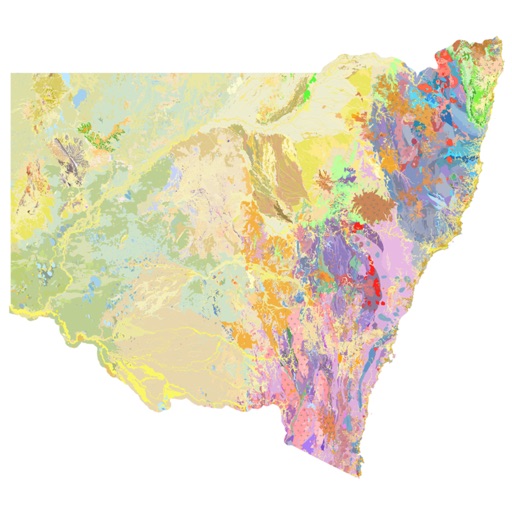


NSW Geology Maps is a specialized productivity tool for geologists and engineers to view offline geological data for New South Wales on iOS.
The App DNA
What makes this app unique?
Field professionals require reliable access to geological maps in remote areas where mobile connectivity is unavailable.
For Geologists, engineers, farmers, environmental consultants, and students working in New South Wales.
What does it look like?
Key features
Downloads maps and geophysical images to local storage for use without mobile reception.
Displays rock type name and age via interactive screen touches.
How much does it cost?
The app is provided as a free public utility by the Geological Survey of NSW with no monetization.
Velocity
Dormant developmentopaqueShow more...
The app has been inactive for 2,755 days, showing no signs of development or maintenance. With only one version recorded in the history and no updates for over seven years, the project is effectively abandoned. There is no evidence of ongoing support or feature iteration.
Who built it?
User Sentiment
What do users think recently?
How are ratings & reviews evolving?
Not enough recent reviews to extract reliable themes yet.
Read the full review analysisCompetition
Competitive landscape for NSW Geology Maps
How's the Productivity market?
NSW Geology Maps operates as a niche productivity utility, maintaining a 1-star rating based on a single review. Its value lies in offline data accessibility rather than market share or chart performance.
Read the market outlookThe rivals identified
Unlock the deeper market read.
Access the full report for freeThe Analyst's Read
Key takeaways for NSW Geology Maps
Where is it heading?
The market for specialized geological field tools remains stable, as these utilities are often static reference points rather than high-frequency consumer apps. NSW Geology Maps is advantaged by its specific regional focus, but its long-term posture is exposed to technical decay due to the lack of maintenance.
- The app remains a functional, static utility for field work despite the lack of recent feature updates.
- The seven-year development gap increases the risk of the app breaking on future OS versions.
The SWOT
- Offline map storage removes connectivity dependency
- Interactive rock-type pop-ups enable location-aware data access
- Expand interactive map coverage to western NSW
Next best moves
Audit OS compatibility because the app has not been updated since 2019 → prevent total service failure
The counter-intuitive read
The app's seven-year update silence is a feature, not a bug…
Read the full takeSince the last report: The outlook trend shifted from declining to stable, as the analysis now frames the app as a static, niche utility rather than a product in terminal decline. This pivot aligns the report with the reality of a long-dormant, specialized public-sector tool.
Bottom line
NSW Geology Maps serves a critical field need through its offline-first design, but the seven-year development gap threatens its long-term viability. Maintaining basic OS compatibility is the only path to preventing total service failure for its professional user base.
Unlock 2 critical frictions, 1 market threat and the analyst’s take.
Access the full report for freeFAQ
Is NSW Geology Maps free to use?
Does NSW Geology Maps require internet access?
Who is the target audience for this app?
Sources
- [1] App Store, source
Report last updated