





Pacific Typhoon Tracker is a weather mapping application designed to visualize tropical storm activity using data from the NHC, NOAA, and NWS. The app provides various meteorological layers, including hurricane, tropical storm, and tropical depression tracks, alongside environmental data like wave height and global surface winds.
Overview · Full Intel report in progress
The App DNA
What makes this app unique?
For Weather enthusiasts and individuals seeking to monitor tropical storm activity in the Atlantic.
What does it look like?
Key features
Visualizes hurricane, tropical storm, and tropical depression tracks on an interactive map.
Provides global surface winds, wave height, wave direction, and 3-hour precipitation data.
Integrates NOAA buoy and ship observation data alongside global cloud cover layers.
Displays NHC-sourced chance of development data for emerging weather systems.
How much does it cost?
Velocity
Maintenance developmentShow more...
5 versions in history. Development pace: maintenance.
Who built it?
corey hoggard
13+ apps tracked · Weather
 NOAA Weather Radio Plus
 SevereWXWarn AI Weather
 Hurricane Tracker Pro
 Tornado Tracker Radar Pro
 SevereWXWarn Weather Pro
 Tornado Tracker Weather Radar
 OBX Hurricane Tracker
 Atlantic Hurricane Tracker
 Pigeon Forge Gatlingburg Guide
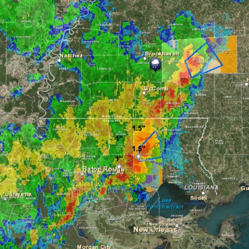 Storm Tracker Weather Radar
 Washington DC Metro Map
 HD Weather Doppler Radar
User Sentiment
What do users think recently?
How are ratings & reviews evolving?
Not enough recent reviews to extract reliable themes yet.
Read the full review analysisCompetition
Competitive landscape for Pacific Typhoon Tracker
How's the Weather market?
The rivals identified
The Analyst's Read
Key takeaways for Pacific Typhoon Tracker
Where is it heading?
Bottom line
Users report significant issues with data accuracy, navigation, and the failure of the app to display active storm systems.
Report last updated