


US Mountains, peaks and hills in augmented reality


US Mountains, peaks and hills in augmented reality is a travel utility that identifies over 70,000 geographic landmarks, including summits, lakes, and attractions. The app uses augmented reality to display altitude and distance data, with an offline mode for remote navigation.
Overview · Full Intel report in progress
The App DNA
What makes this app unique?
For Outdoor enthusiasts, hikers, and travelers seeking geographic identification and navigation assistance in the United States.
What does it look like?
Key features
Displays the name, altitude, and distance of peaks and mountains in real-time via the device camera.
Allows users to access geographic information and attraction data without an active internet connection.
Locates essential points of interest such as springs, lakes, picnic areas, and scenic overlooks.
Provides a secondary view to visualize all referenced attractions and landmarks on a standard map interface.
How much does it cost?
Velocity
Who built it?
Jérôme Goursau
13+ apps tracked · Travel
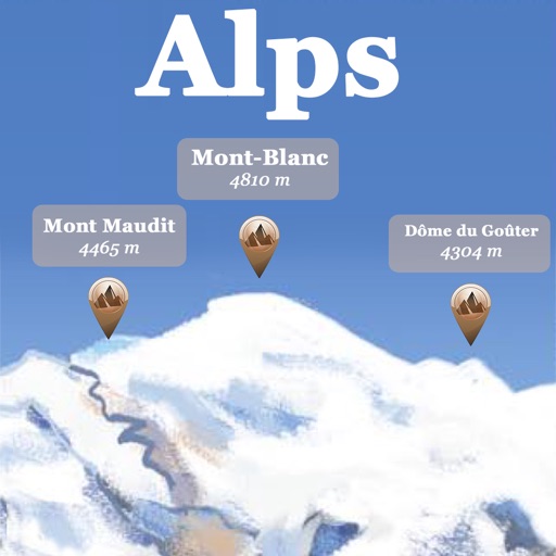 Alps Peaks AR
 Discover Paris - maps, metro & monuments - free version
 Multilingual speaking clock - free version
 Paris Metro painted map - Free version
 Geocaption - Geolocalized picture captions
 PassWorld – Русский/Английский
 Dictionary of medicine
 PassWorld
 Passworld Multilingue
 Pyrénées sommets AR
 Dictionary of Automotive
 Dictionary of cooking terms
User Sentiment
What do users think recently?
How are ratings & reviews evolving?
Not enough recent reviews to extract reliable themes yet.
Read the full review analysisCompetition
Competitive landscape for US Mountains, peaks and hills in augmented reality
How's the Travel market?
The rivals identified
The Analyst's Read
Key takeaways for US Mountains, peaks and hills in augmented reality
Where is it heading?
Bottom line
While the app offers a comprehensive database of US landmarks, users report significant technical issues regarding location accuracy, gyroscope calibration, and software stability.
Report last updated