

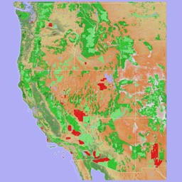


Scenic Map Western USA is a 3D topographic navigation app for outdoor enthusiasts and pilots on iOS.
The App DNA
What makes this app unique?
Users hire the app for reliable, offline-first situational awareness in remote regions where cellular data is unavailable, serving a job-to-be-done of backcountry safety and route planning.
For Outdoor enthusiasts, pilots, and search and rescue personnel requiring offline 3D topographic mapping.
What does it look like?
Key features
Renders terrain in 3D using two-finger vertical swipe gestures for elevation visualization.
Stores map data locally to enable navigation without internet connectivity, functioning as the primary paid-gate for the $4.99 purchase.
Logs movement paths with replay controls and GPX format support, serving as a retention loop for recurring outdoor activities.
How much does it cost?
The flat-fee model positions the app as a utility tool, but regional fragmentation creates a barrier to value for the total price.
Velocity
Dormant developmentShow more...
5 versions in history. Development pace: zombie.
Who built it?
GrangerFX
11 apps tracked · Navigation
 Scenic Map Alaska
 You Need A Map
 Scenic Map Grand Canyon
 Scenic Map
 Scenic Map Eastern USA
 Scenic Map Central USA
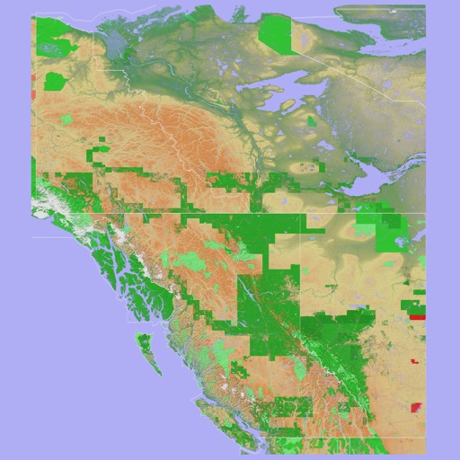 Scenic Map Western Canada
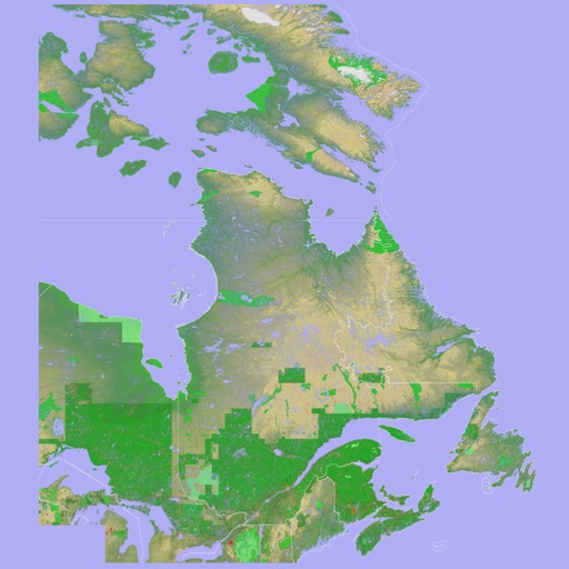 Scenic Map Eastern Canada
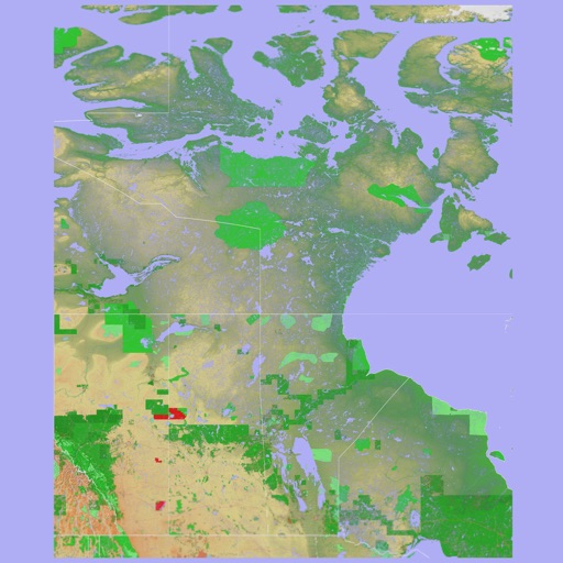 Scenic Map Central Canada
 Blue Hound
User Sentiment
What do users think recently?
The recent review mood reads excited. Users appreciate offline map functionality provides reliable navigation for backcountry hikers and pilots without cellular data coverage and high-quality topographic renderings and three-dimensional terrain views help users visualize complex landscapes during outdoor excursions.
How are ratings & reviews evolving?
What users say, by theme
- Offline map functionality provides reliable navigation for backcountry hikers and pilots without cellular data coverage
- High-quality topographic renderings and three-dimensional terrain views help users visualize complex landscapes during outdoor excursions
- Self-contained map data allows users to maintain situational awareness in remote regions where other apps fail
- Large file sizes for offline map data consume significant device storage and complicate the installation process
49 of 49 recent reviews analyzed · high confidence · Excited overall
Read the full review analysisUnlock 2 more frustration themes and 2 user requests, each backed by review evidence.
Access the full report for freeCompetition
Competitive landscape for Scenic Map Western USA
How's the Navigation market?
Scenic Map Western USA holds a #72 Paid rank in its category. The lack of a unified global map bundle forces users to purchase multiple regional apps, creating a barrier to value compared to subscription-based rivals.
Read the market outlookThe rivals identified

By Avenza Systems Inc.
With over 124,000 reviews and a long-standing market presence, Avenza dominates the offline mapping niche for professional and recreational users.
- Supports importing custom geospatial PDFs and GeoTIFFs for specialized field work and navigation
- Extensive map store integration allows users to purchase professional-grade topographic and nautical charts
- Provides advanced coordinate system support including MGRS and UTM for professional surveying requirements
 Gaia GPS: Mobile Trail MapsContender
 Wikiloc - Trails of the WorldContender
 Footpath Route PlannerContender
Unlock the head-to-head verdict: where this rival wins, and where it loses.
Access the full report for freeThe Analyst's Read
Key takeaways for Scenic Map Western USA
Where is it heading?
Users report: Market interest in offline navigation is consolidating around platforms that offer both discovery and professional-grade utility. The app's maintenance-mode update cadence leaves it exposed to competitors that integrate community-sourced data and advanced route planning, so revenue growth hinges on simplifying the map acquisition model.
- Fragmented regional map structure forces multiple purchases, which creates a barrier to value and drives negative sentiment regarding the total price.
- High-fidelity 3D terrain rendering and reliable offline navigation maintain a strong niche following among backcountry users who prioritize off-grid reliability.
The SWOT
- High-fidelity 3D terrain rendering provides a defensible visual differentiator
- Self-contained vector data functions as a barrier to entry for remote navigation
- Unified global map bundle could reduce purchase friction
- GPX import integration would satisfy top user request
Next best moves
Ship unified global map bundle because regional fragmentation is a top complaint → reduce purchase friction
+ 1 more prioritized moveThe counter-intuitive read
The app's regional fragmentation is a deliberate barrier…
Read the full takeFeature gaps
Custom geospatial PDF support (available in Avenza Maps but missing here) +1
Since the last report: The analysis shifted from a high-level overview of features to a critical evaluation of market barriers, specifically identifying regional map fragmentation and storage footprint as primary inhibitors to growth.
Bottom line
Scenic Map Western USA succeeds as a specialized offline utility, but the fragmented regional map structure and storage friction limit its appeal, so the PM should prioritize a unified map bundle to reduce purchase friction and improve retention.
Unlock 3 critical frictions, 2 market threats, 1 more prioritized move and the analyst’s take.
Access the full report for freeFAQ
Does Scenic Map Western USA work without internet?
How does Scenic Map compare to Avenza Maps?
Is Scenic Map safe for offline hiking?
What is a free alternative to Scenic Map?
Sources
- [1] App Store, source
Report last updated