Andres Narvaez
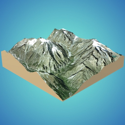
 3D Mappa - GIS & Topo Models


Snapshot


Publisher DNA
What defines Andres Narvaez?
AI intelligence is not yet available for Andres Narvaez. The portfolio data below is up to date.
Portfolio
What does Andres Narvaez ship?
Apps
5 apps analysed

Analysis in progress

Analysis in progress

Analysis in progress

- Privacy-first visibility controls (public, private, women-only) provide a defensible barrier for community safety
Americas-centric footprint across 3 markets.
Based on 2 of 5 apps with localized market data, more coverage rolling in as scans complete · last scanned .
Americas (2)
- United States2 / 2
- Mexico1 / 2
Europe (1)
- Spain1 / 2
Core markets (2/2 apps)
Rivals
Who does Andres Narvaez compete with?
The rivals identified
Nemeses(1)

Both applications target GIS professionals and researchers, creating direct competition for users managing geographic data and spatial analysis workflows.
Contenders(3)


Both applications target GIS professionals and surveyors requiring mobile spatial data management and visualization tools for field operations.


Both apps target users performing spatial analysis on terrain data, with the rival focusing on visibility and line-of-sight while the target app focuses on 3D terrain modeling and volumetric calculations.


Both applications target field professionals and surveyors by providing specialized tools for elevation data acquisition and spatial analysis.
Same space(19)


Allows users to create custom maps with annotations for personal or collaborative use.


Serves outdoor adventurers with 3D map visualization and offline navigation for remote areas.


Extends desktop GIS workflows to mobile, allowing field technicians to access spatial data.


Offers a mobile-first 3D workspace for hobbyists, overlapping with the source app's 3D terrain modeling focus.


Targets land surveyors and construction professionals needing volume calculations and site stakeout tools.


Provides coordinate conversion and surface area calculation for civil engineers and architects.


Enables collaboration by allowing users to view and share maps created in Map Editor.


Offers 3D topographic navigation for outdoor enthusiasts using satellite imagery and GPS tracking.


Focuses on transforming location data into interactive maps with time-series visualization.


Integrates subsurface data with terrain visualization for geoscience professionals in the field.


Provides real-time altitude data for hikers and flood prediction using barometer and GPS sensors.


Functions as a professional GIS tool for data gathering and editing, supporting various vector formats.


Provides real-time elevation mapping and distance measurement for outdoor and professional use.


Measures elevation within a 500-meter radius using a mix of device sensors and online geo-services.


Combines field mapping and engineering analysis for parcel lookup and coordinate conversion.


Facilitates field data collection and offline project management for researchers and foresters.


Serves GIS collectors and surveyors with multiplatform design and large spatial dataset handling.


Provides professional-grade field data collection and offline mapping for engineers and geologists.


Provides terrain generation tools for creative visualization rather than professional GIS analysis.
New entrants(2)


Uses AI to generate 3D models from text or images, offering a creative alternative to GIS modeling.


Generates production-ready 3D models from photos and text, focusing on AI-driven asset creation.