

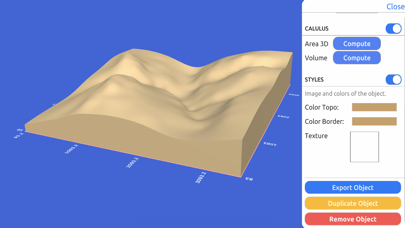
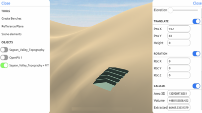
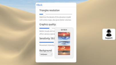
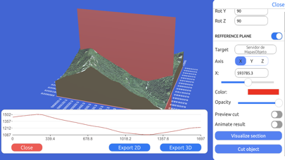
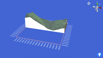
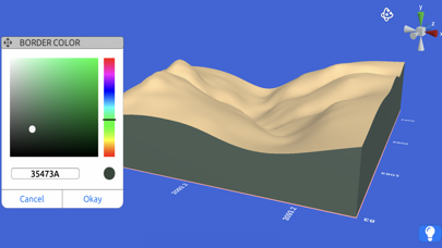
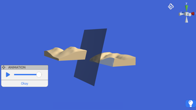
3D GIS Digital Elevation Model is a utility for generating and manipulating 3D terrain models using real-world geographic data. It enables users to import data from web mapping services or local point clouds to perform spatial analysis, including surface area and volume calculations.
Overview · Full Intel report in progress
Product velocity
Unknown
Daily rank 🇺🇸
—
Navigation
Sentiment
3.0
1 reviews
Nemesis
Fragmented field
The App DNA
What makes this app unique?
For GIS professionals, surveyors, and researchers requiring 3D terrain modeling and spatial analysis tools.
What does it look like?
Key features
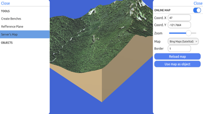
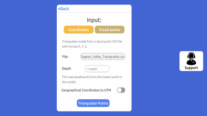
Generates 3D models directly from Bing Maps, Mapbox, ArcGIS, or local CSV/TXT point cloud files.
Converts point cloud data into standard 3D formats including STL and OBJ alongside satellite imagery.
Calculates surface areas and volumes in real-world units with precision comparable to professional GIS software.
Features a character controller that operates within real-world coordinate systems like UTM and Geographic Coordinate Systems.
How much does it cost?
Velocity
Who built it?
Andres Narvaez
4 apps tracked · Navigation
 Marble Collector - Identifier
 3D Mappa - GIS & Topo Análisis
 Offline Translator ASAP
User Sentiment
What do users think recently?
How are ratings & reviews evolving?
Not enough recent reviews to extract reliable themes yet.
Read the full review analysisCompetition
Competitive landscape for 3D GIS Digital Elevation Model
How's the Navigation market?
The rivals identified
The Analyst's Read
Key takeaways for 3D GIS Digital Elevation Model
Where is it heading?
Bottom line
This tool provides a specialized environment for converting web-based and local geospatial data into actionable 3D models and volumetric measurements.