JOMO Solutions
For outdoor enthusiasts, hikers, and travelers requiring reliable, offline topographical mapping for specific UK regions.
 London Maps Offline


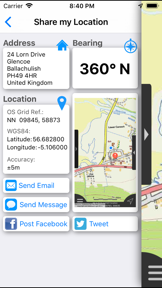


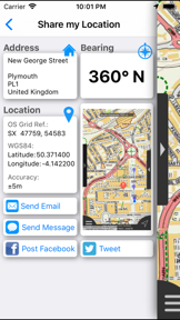


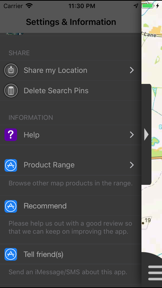


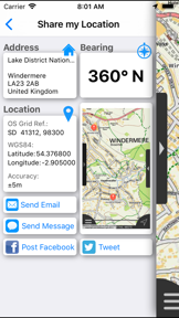
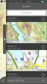

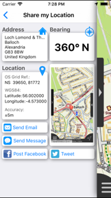
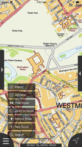


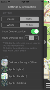


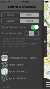


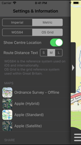

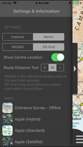


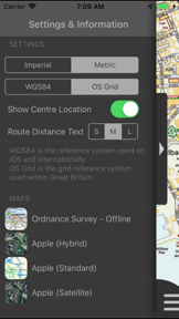
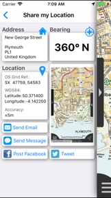


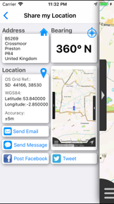


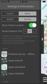




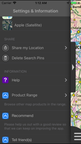
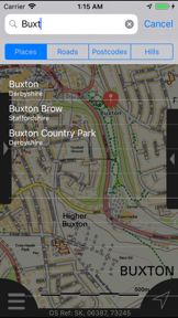


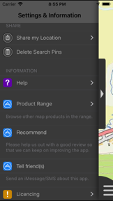

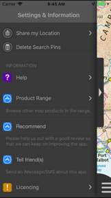
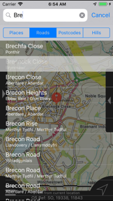


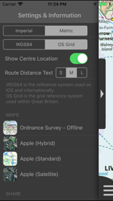
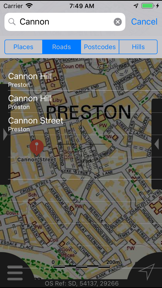


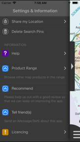


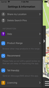

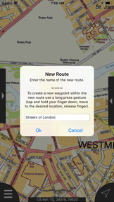


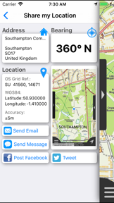


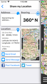
Snapshot
Who is JOMO Solutions?
Providing offline navigation tools for outdoor enthusiasts and travelers across the UK. Enabling reliable wayfinding in remote regions without mobile data.
Target audience


Portfolio
Free 2Last updated

London Maps Offline
v2.0.0
7.9y ago
Publisher DNA
What defines JOMO Solutions?
Publisher DNA
Primary focus
Offline navigation tools for UK regions
Scale
studio
Target audience
Outdoor enthusiasts, hikers, and travelers requiring reliable, offline topographical mapping for specific UK regions.
Origin
JOMO Solutions Limited provides business and domestic software development and IT consultancy services.
Signature Patterns
- •Strict focus on offline Ordnance Survey mapping for specific UK geographic regions
- •Consistent inclusion of offline search facilities and route/waypoint management
- •Hybrid monetization strategy mixing free and paid models
- •Integration of Apple Maps for online-only functionality
Portfolio momentum
The publisher has released zero updates in the last 6 months and all 17 apps are classified as abandoned.
Company profile
low confidence- Founded
- 2015
Portfolio
What does JOMO Solutions ship?
Apps
17 apps analysed

Specialized hill-bagging metadata creates a defensible barrier for the niche walking community.
- Offline-first architecture removes connectivity dependency rivals require.


Single-market publisher, every app ships only to United States.
Based on 2 of 17 apps with localized market data, more coverage rolling in as scans complete · last scanned .
Americas (1)
- United States2 / 2
Core markets (2/2 apps)
User Sentiment
How do users feel about their apps?
3
Positive apps
0
Neutral / mixed
0
Negative apps
90/100
Avg sentiment score

Rivals
Who does JOMO Solutions compete with?
The rivals identified
Nemeses(2)

Targets the same professional field-work segment by enabling custom map imports for users working in remote areas.


Topo GPS targets the same outdoor navigation audience by offering Ordnance Survey map access, directly competing for the same hill-walking user base.
Contenders(17)


Serves the same professional field-researcher audience by gating precise waypoint logging and offline mapping behind a subscription.


Provides similar offline navigation and trail-finding tools for hikers and off-roaders using OpenStreetMap data.


Provides trail discovery and navigation tools for the same outdoor enthusiast audience in the USA.


Targets the same privacy-conscious outdoor audience by offering offline navigation without tracking or data collection.


Both apps target hikers in the British countryside by providing offline Ordnance Survey mapping tools for navigation in remote areas.


Both apps target hikers requiring offline navigation in remote areas, creating direct competition for the same outdoor enthusiast user base.


Simplifies route planning through a gesture-based interface that snaps custom paths to existing trails.


Both apps target outdoor enthusiasts requiring topographic maps and route planning, creating direct competition for users seeking reliable navigation tools in mountainous terrain.


Apple Maps competes by offering free offline hiking route support, directly challenging the paid, region-specific utility of Dartmoor Maps Offline.


Both apps provide offline navigation tools for outdoor activities in the UK, creating direct competition for users seeking reliable mapping without mobile signal.


Both apps target UK hill-walkers with offline navigation tools, competing for the same niche audience that requires connectivity-independent mapping for specific mountain regions.


Both apps target outdoor enthusiasts requiring offline navigation, competing for the same user base seeking one-time purchase mapping tools for remote excursions.


Both applications target outdoor enthusiasts who require offline GPS navigation in remote areas lacking mobile connectivity. They compete directly for the same user base by offering map-based tracking and waypoint management.


Both apps target hikers in Great Britain requiring offline navigation, creating direct competition for the same user base despite different regional focuses.


Both apps target outdoor enthusiasts requiring offline navigation in remote areas, creating direct competition for users seeking reliable mapping without cellular connectivity.


Both apps target hikers in specific UK regions with offline-first navigation and share an identical 1.99 dollar price point.


Both apps target hikers in specific UK National Parks with region-specific navigation tools, creating a direct overlap in the niche outdoor utility market.
Same space(31)


Offers multi-modal navigation and local search that overlaps with the general utility needs of the same user base.


Targets the same privacy-conscious navigation audience using OpenStreetMap data for driving, biking, and hiking.


Serves the same outdoor activity tracking audience by providing a database of over 780,000 trails for mountain biking and skiing.


Addresses the same backcountry navigation niche with high-fidelity topographic maps and professional-grade GIS tools.


Serves the same outdoor enthusiast audience but scales via a 77-million-trail database that provides community-verified route data.


Provides a global navigation standard that captures the same user base through system-level Android assistant triggers.


Captures the same offline-navigation niche but specializes in marine bathymetry for boaters and fishing enthusiasts.


Serves the same backcountry navigation audience by providing specialized land-ownership and terrain data.


Gamifies daily commuting by applying stylized visual overlays to standard navigation data.


Serves professional heavy-vehicle operators who require dimension-aware routing, a specialized need beyond standard hiking maps.


Targets the same professional-grade navigation audience with topographic map integrations for multi-day route planning.


Users report: Provides hunting-specific mapping layers, serving users who need parcel boundaries and harvest data for remote environments.


Acts as a comprehensive mapping utility for diverse outdoor activities with access to over 80 base maps.


Offers turn-by-turn navigation for North American commuters with integrated traffic and route optimization.


Enables agricultural field guidance for small-scale farmers who require consistent navigation in remote areas.


Focuses on historic road trip planning, providing specialized POI alerts for a specific route rather than general regional mapping.


Provides similar offline navigation and compass tools for the same hiking and travel audience.


Offers specialized sensor-based navigation tools for the same wilderness and survival audience.


Provides general navigation and local search tools that overlap with the user needs of the same audience.


Targets motorcycle riders with a proprietary curvy-road algorithm designed for scenic rather than efficient travel.


Provides marine-specific navigation tools, serving boaters who need nautical charts rather than land-based topographic maps.

known for MapXplorer: Map Radar Navigate
Targets commuters needing real-time safety alerts, contrasting with the regional outdoor focus of the source app.


Provides multi-modal navigation for global travelers with a focus on offline map reliability.


Combines GPS navigation with automated audio narration to provide guided tours of the Cotswolds region.


Offers specialized subway navigation that serves the same urban commuter audience.


Focuses on multi-modal transit and itinerary management for international tourists in Japan, distinct from regional offline hiking tools.


Provides a routing layer for delivery professionals, focusing on multi-stop management rather than topographic map exploration.


Provides holiday travelers with offline access to personalized guidebooks and topographic maps for stress-free navigation.


Serves professional heavy-vehicle operators who require dimension-aware routing, a specialized need beyond standard hiking maps.


Provides specialized routing for heavy vehicles by calculating paths based on specific dimensions and cargo types.


Offers personalized bike route planning based on specific cycling preferences and bike types.
The Analyst's Read
The bottom line on JOMO Solutions
Bottom line
JOMO Solutions successfully identified a niche for offline-first regional navigation but has failed to maintain its product suite, rendering the portfolio effectively obsolete. The lack of updates since 2018 suggests the publisher has shifted focus away from these consumer mobile assets.
Frequently asked questions
How many apps does JOMO Solutions publish?
What kind of apps does JOMO Solutions make?
What is JOMO Solutions's top app?
In how many countries are JOMO Solutions's apps available?
What fed this analysis
- Apps analyzed:
- 17
- With full intel:
- 0
- With overview:
- 17
- Website scraped:
- yes
- Social presence:
- no